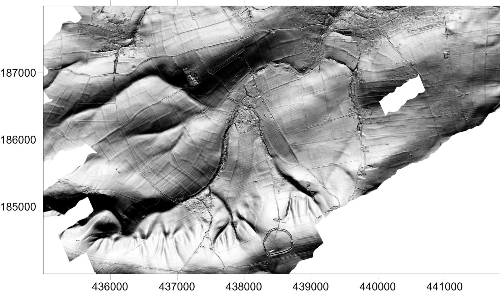
LiDAR and Digital Terrain Modelling
LiDAR (Light Detection and Ranging) data have proved effective for the location of subtle earthworks associated with archaeological features. Our analysis, using digital terrain modelling and intensity value maps, can help to identify archaeological landscapes virtually invisible on the ground.
Datasets for the UK are available from the Environment Agency and have proved exceptionally useful for archaeological assessment and prospection. Archaeological Surveys process raw data and can provide interpretation plots, contours, digital terrain models and colour or greyscale maps of LiDAR intensity values for selected returns. Where LiDAR data are not available over areas where we have carried out magnetometer survey it is still possible to produce digital terrain models as our survey equipment logs surface heights every second from our RTK GNSS receiver.
'Bare earth' models have produced exceptional results for wooded landscapes. Subtle earthworks are often visible in the data where no other form of survey could produce effective results. LiDAR was used to compliment a recent geophysical survey of a Roman villa in the Cotswolds and revealed a previously unknown Roman road running for 800m through deciduous woodland.
Combining LiDAR data and magnetometry results also proved effective on a Roman town adjacent to a flood plain. Where long linear magnetic anomalies of uncertain origin were shown to correlate with surface depressions, it was possible to state that they were unlikely to be Roman in origin as much of the archaeology was buried below alluvial deposits.
LiDAR can provide a stand alone solution to archaeological assessment and prospection where earthworks are expected or can be used in conjunction with geophysical survey or analysis of aerial photography.
LiDAR data analysis can prove highly cost effective in removing or reducing the need for ground-truthing. Within earthwork complexes surveyed using magnetometry it can be difficult to separate positive magnetic anomalies relating to former ditches from those caused by magnetically enhanced soil within earth banks, but combining the magnetic data with LiDAR surface models can help to confirm the nature of features located and indicate whether they are still extant.