News & Projects
April 2025
Remembering the April 1944 tragedy when nearly 1000 US soldiers died whilst training for the D-Day landings, they made the greatest sacrifice for our freedom.
Archaeological Surveys celebrated 20 years of work in geophysics at the beginning of the year.
In March we attended the 2025 Wiltshire Archaeology Conference in Devizes where a number of projects that we had carried out geophysical survey for were presented. Our stand provided information on our recent research at Devizes Wireless Station, just three miles from the conference location, as well as other community and research projects within Wiltshire.
Cheers, Dave Sabin
Magnetic susceptibility measurement of iron ore samples from Seend.
With high temperatures becoming more frequent in British summers, Archaeological Surveys Ltd consider the risks of overheating and heat exhaustion when carrying out geophysical survey.
This short article takes a look at the current state of standards and guidance for archaeological geophysics in England with particular regard to commercial practice.
Francis George Sabin passed away in September 2019 after several years of struggling with a number of degenerative illnesses. Francis provided valuable support to Archaeological Surveys Ltd after a long career in engineering.
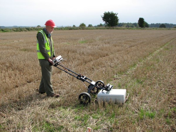
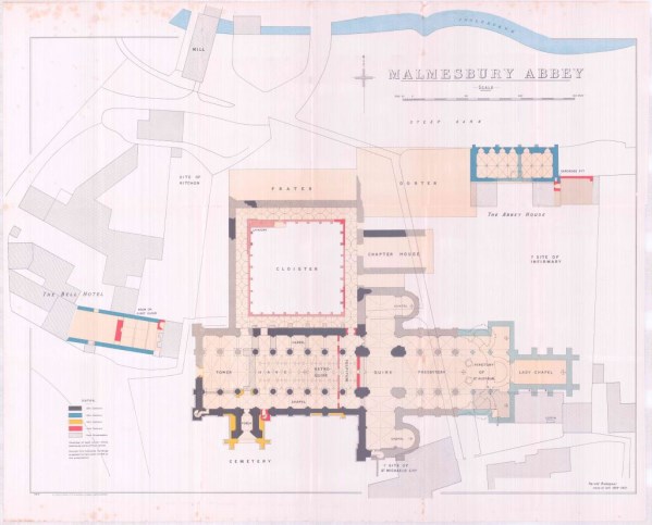
Archaeological Surveys Ltd was commissioned by the Malmesbury History Society to undertake a ground penetrating radar (GPR) survey of accessible areas around the abbey and adjacent areas. Variable results were obtained but include anomalies relating to the northern cloister, the crossing, presbytery and transepts. Fragments of the abbey complex were also located by GPR surveying within Abbey House Gardens to the east and behind The Old Bell Hotel to the north west. The GPR survey also located fragments of St Paul's church to the south of the abbey. No significant features were identified within the churchyard to the south of the abbey, although the GPR profiles indicate the presence of a very large number of graves probably confirming the area had been used for burial by the town from the medieval up until the Victorian period. The GPR results within the abbey were poor probably as a result of the floor and shallow subsurface make-up; despite the presence of numerous memorial ledgers within the floor, there was very little evidence for graves below it, and although 19th and 20th century renovations may have removed them, it is possible that high levels of GPR absorption have restricted penetration.


